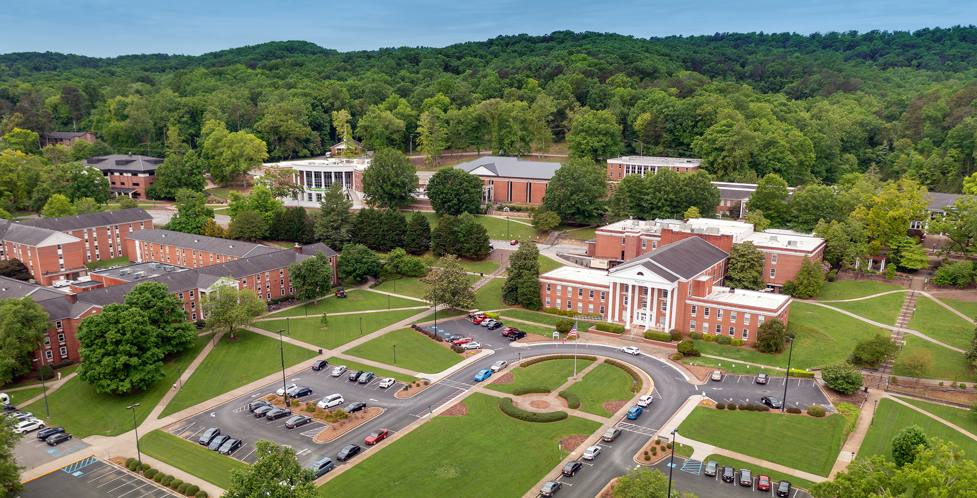
Maps and Directions
Address:
4881 Taylor Circle
Collegedale, Tennessee 37315
Visitors Map: Campus Map | Parking Map
GPS Coordinates:
N35˚ 2.897, W85˚ 3.076
Getting Here
- Take the Volkswagen Drive exit (#9) and turn right.
-
Continue on Apison Pike through Collegedale for 3 miles.
-
Take a sharp right at the light onto Collegedale Parkway and follow the road around the mountain bend.
- Turn right at the four-way stop onto University Drive.
- Take the Ooltewah exit (#11), turning left onto Lee Highway.
- At the second stoplight on Lee Highway, turn right onto Little Debbie Parkway.
- When Little Debbie Parkway ends, turn left onto Apison Pike.
-
Continue on Apison Pike through Collegedale for .08 mile.
-
Take a sharp right at the light onto Collegedale Parkway and follow the road around the mountain bend.
- Turn right at the four-way stop onto University Drive.
Shuttles
Groome Transportation, 800.896.9928, operates a shuttle service in Chattanooga to the airports in Atlanta and Nashville.
Airports
Chattanooga Airport
423.855.2202
Google Map
12 miles from Southern Adventist University
Directions to Southern from Chattanooga Airport:
- From Shepherd Road, take Highway 153 South.
- Follow signs toward Knoxville onto Interstate 75 North.
- Take the Volkswagen Drive exit (#9) and turn right.
-
Continue on Apison Pike through Collegedale for 3 miles.
-
Take a sharp right at the light onto Collegedale Parkway and follow the road around the mountain bend.
- Turn right at the four-way stop onto University Drive.
Atlanta Airport
404.530.7300 or 800.897.1910
Google Map
122 miles from Southern Adventist University
Directions to Southern from Hartsfield Atlanta International Airport:
- From the airport, follow the signs to Interstate 75 North.
- Take the Volkswagen Drive exit (#9) and turn right.
-
Continue on Apison Pike through Collegedale for 3 miles.
-
Take a sharp right at the light onto Collegedale Parkway and follow the road around the mountain bend.
- Turn right at the four-way stop onto University Drive.
Nashville Airport
615.275.1675
Google Map
151 miles from Southern Adventist University
Directions to Southern from Nashville International Airport:
- From the airport, follow the signs to Interstate 24 East. When I-24 ends, take Interstate 75 North.
- Take the Volkswagen Drive exit (#9) and turn right.
-
Continue on Apison Pike through Collegedale for 3 miles.
-
Take a sharp right at the light onto Collegedale Parkway and follow the road around the mountain bend.
- Turn right at the four-way stop onto University Drive.
Knoxville Airport
865.342.3000
Google Map
99 miles from Southern Adventist University
Directions to Southern from Knoxville McGhee Tyson Airport:
- From the airport, follow signs to Interstate 40 West/75 South. When I-40 and I-75 split, follow Interstate 75 South.
- Take the Ooltewah exit (#11), turning left onto Lee Highway.
- At the second stoplight on Lee Highway, turn right onto Little Debbie Parkway.
- When Little Debbie Parkway ends, turn left onto Apison Pike.
-
Continue on Apison Pike through Collegedale for .08 mile.
-
Take a sharp right at the light onto Collegedale Parkway and follow the road around the mountain bend.
- Turn right at the four-way stop onto University Drive.
Bus and Train Stations
Greyhound Chattanooga
Google Map
Directions to Southern from Greyhound Chattanooga:
From Shepherd Road, take Highway 153 South. Follow signs toward Knoxville onto Interstate 75 North. Take the Ooltewah exit (#11) onto Lee Highway. At the first stoplight, turn right onto Little Debbie Parkway. When Little Debbie Parkway ends, turn left onto Apison Pike. Continue on Apison Pike through Collegedale, then turn right onto University Drive. Welcome to Southern!
Greyhound Atlanta
Google Map
Directions to Southern from Greyhound Atlanta:
From the bus station, follow signs to Interstate 24 East. When I-24 ends, take Interstate 75 North. Take the Ooltewah exit (#11) onto Lee Highway. At the first stoplight, turn right onto Little Debbie Parkway. When Little Debbie Parkway ends, turn left onto Apison Pike. Continue on Apison Pike through Collegedale, then turn right onto University Drive. Welcome to Southern!
Greyhound Nashville
Google Map
Directions to Southern from Greyhound Nashville:
Follow signs to Interstate 24 East. When I-24 ends, take Interstate 75 North. Take the Ooltewah exit (#11) and turn left onto Lee Highway. At the second stoplight, turn right onto Little Debbie Parkway. When Little Debbie Parkway ends, turn left onto Apison Pike. Continue on Apison Pike through Collegedale, then turn right onto University drive. Welcome to Southern!
Amtrak Atlanta
1.800.872.7245
Amtrak services Atlanta, but not Chattanooga, Knoxville, or Nashville.
Google Map
Directions to Southern from Atlanta Amtrak station:
Follow signs to Interstate 75 North. Take the Ooltewah exit (#11) onto Lee Highway. At the first stoplight, turn right onto Little Debbie Parkway. When Little Debbie Parkway ends, turn left onto Apison Pike. Continue on Apison Pike through Collegedale, then turn right onto University Drive. Welcome to Southern!
Restaurants on Campus
Eateries are open to guests and accept cash and major credit cards. If you prefer to pay ahead for Sabbath meals call 423.236.2777 before noon Friday.
Restaurants in the Collegedale Area
Restaurants in Ooltewah area
This is an overview. More restaurants are located in Ooltewah, the Hamilton Place area, and downtown Chattanooga than listed here.
Local Attractions and Activities
827 East Brow Road Lookout Mountain, TN 37350 Lookout Mountain Area 423.821.4224